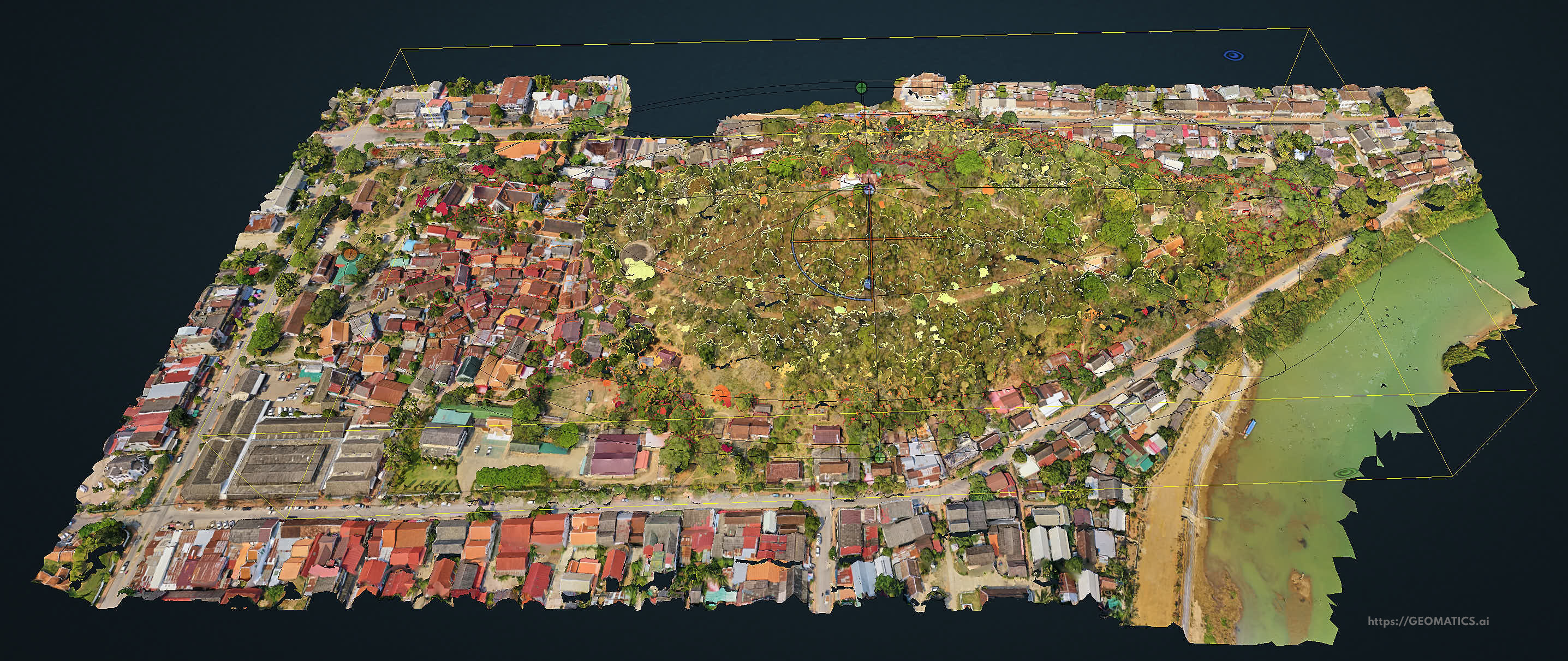
Unmanned Aerial Vehicle • UAV • Drone Imaging Services
- drone mapping
- orthophoto / photogrammetry - cm accurate
- cadastral mapping - cm accurate
- GIS
- corridor surveys
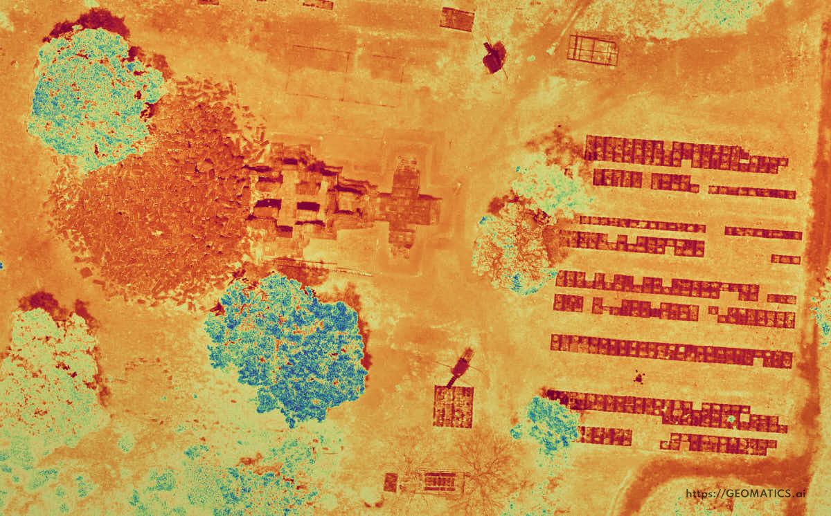
- remote sensing RGB / ir / thermal / LiDAR
- Inspection & monitoring services
- construction monitoring
- environmental monitoring
- bridges · dams
- telecommunications · electricity
- water towers · buildings
- highways · railways · airports
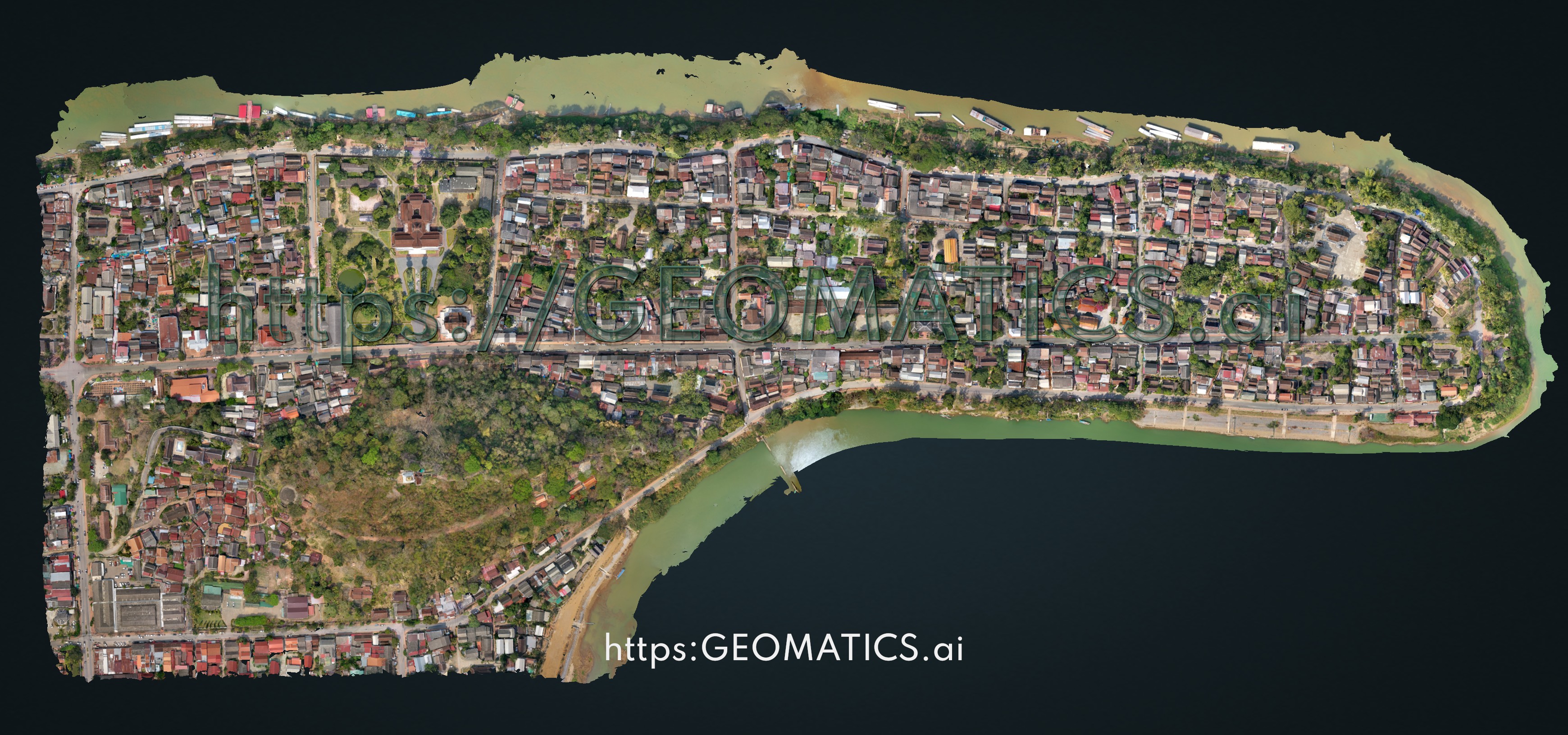
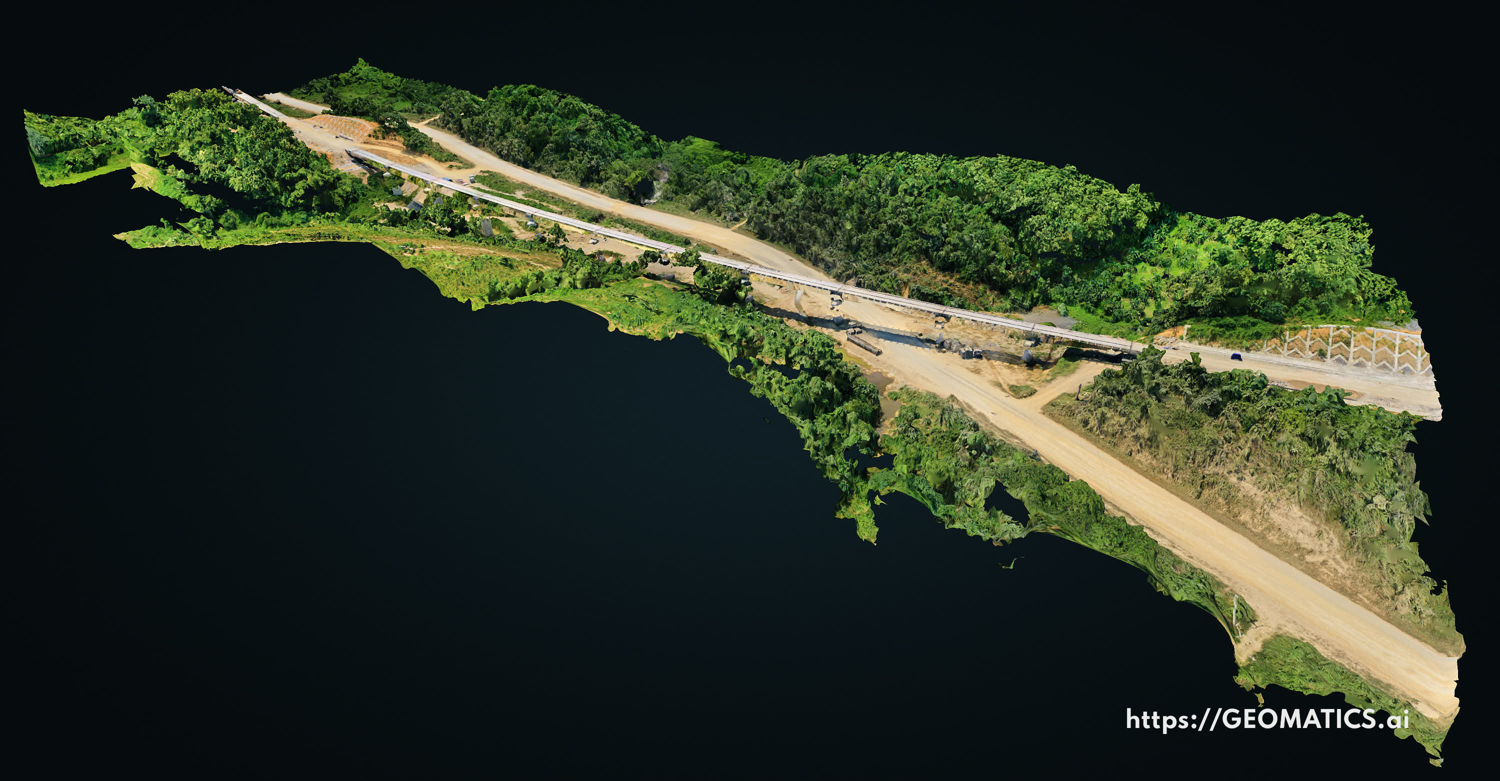
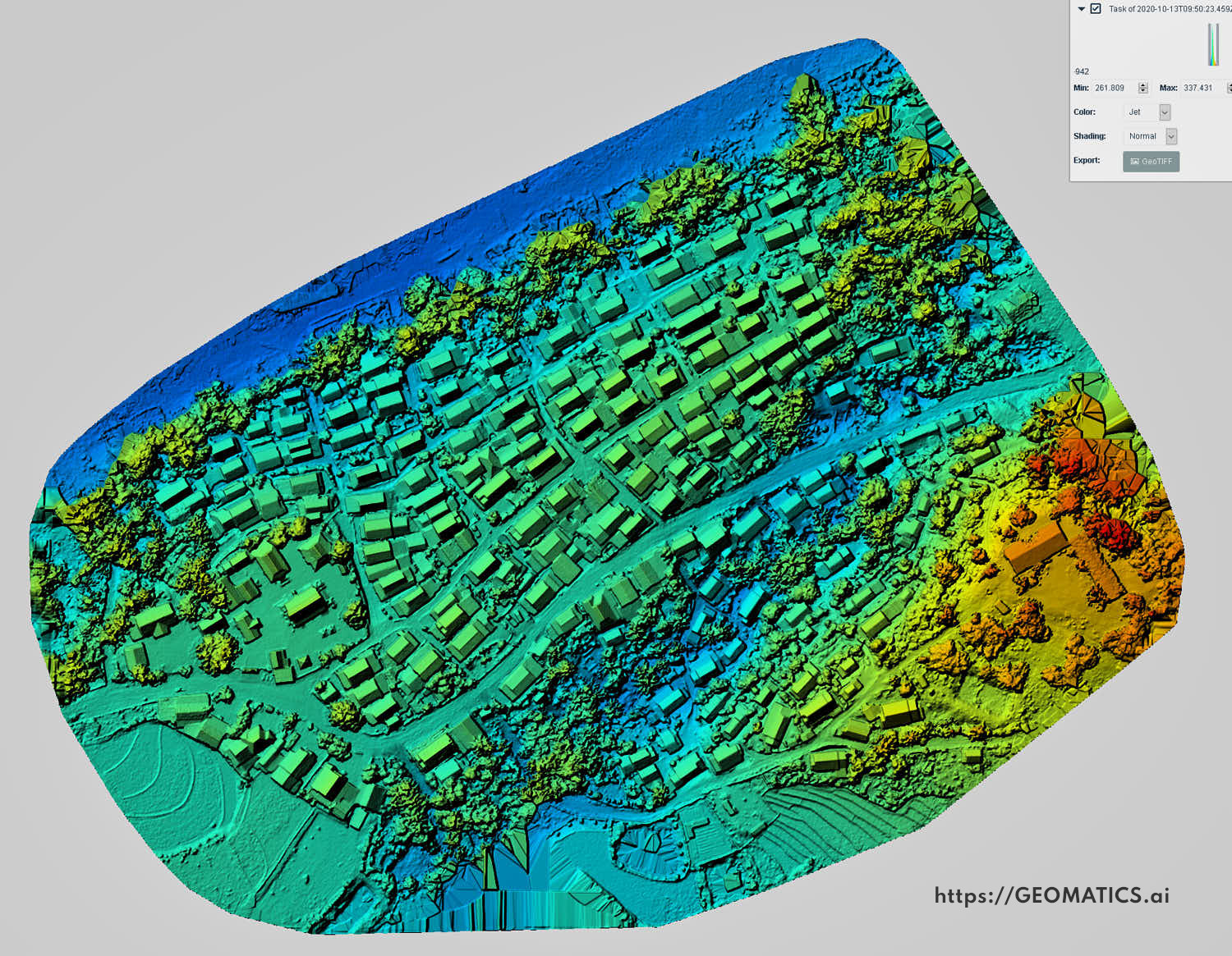
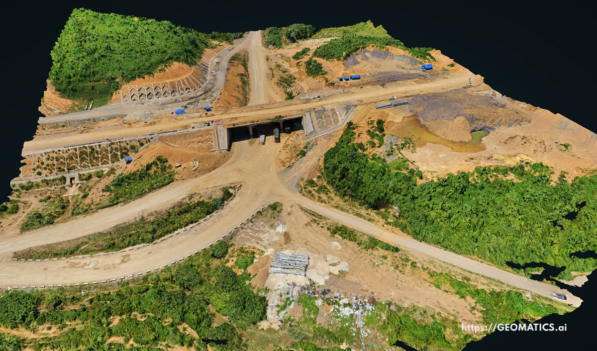
Image Processing
In house image processing for:
Global service
It doesn't matter where you are located. Upload images to our site for processing.
Contact us for a quote.
In house image processing for:
- rgb & LiDAR
- satellite multi band optical and SAR imagery
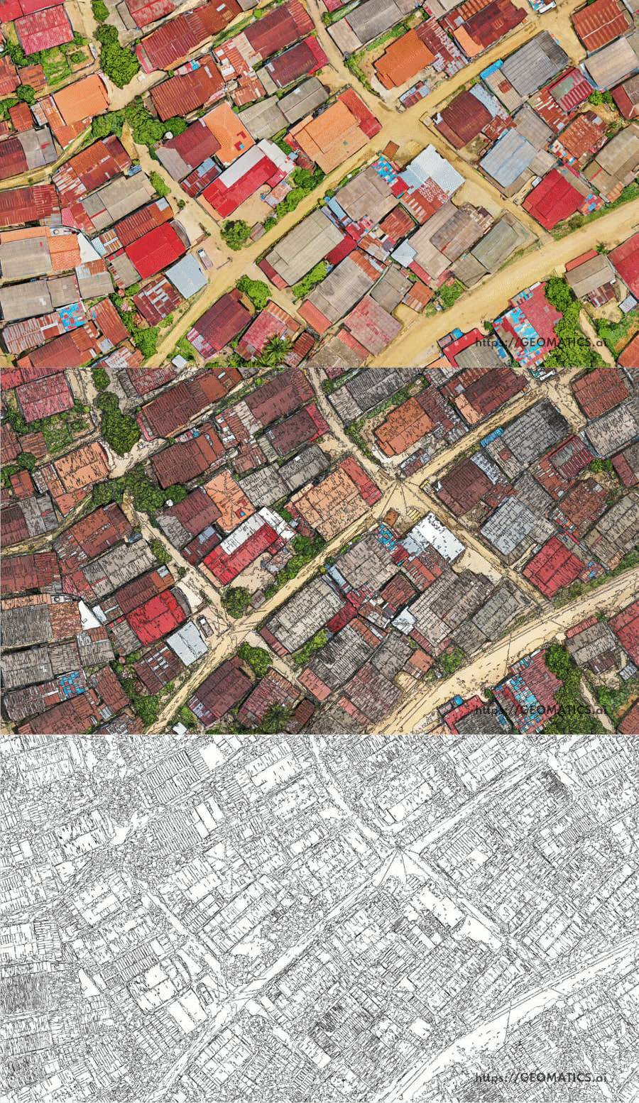
- orthophotos
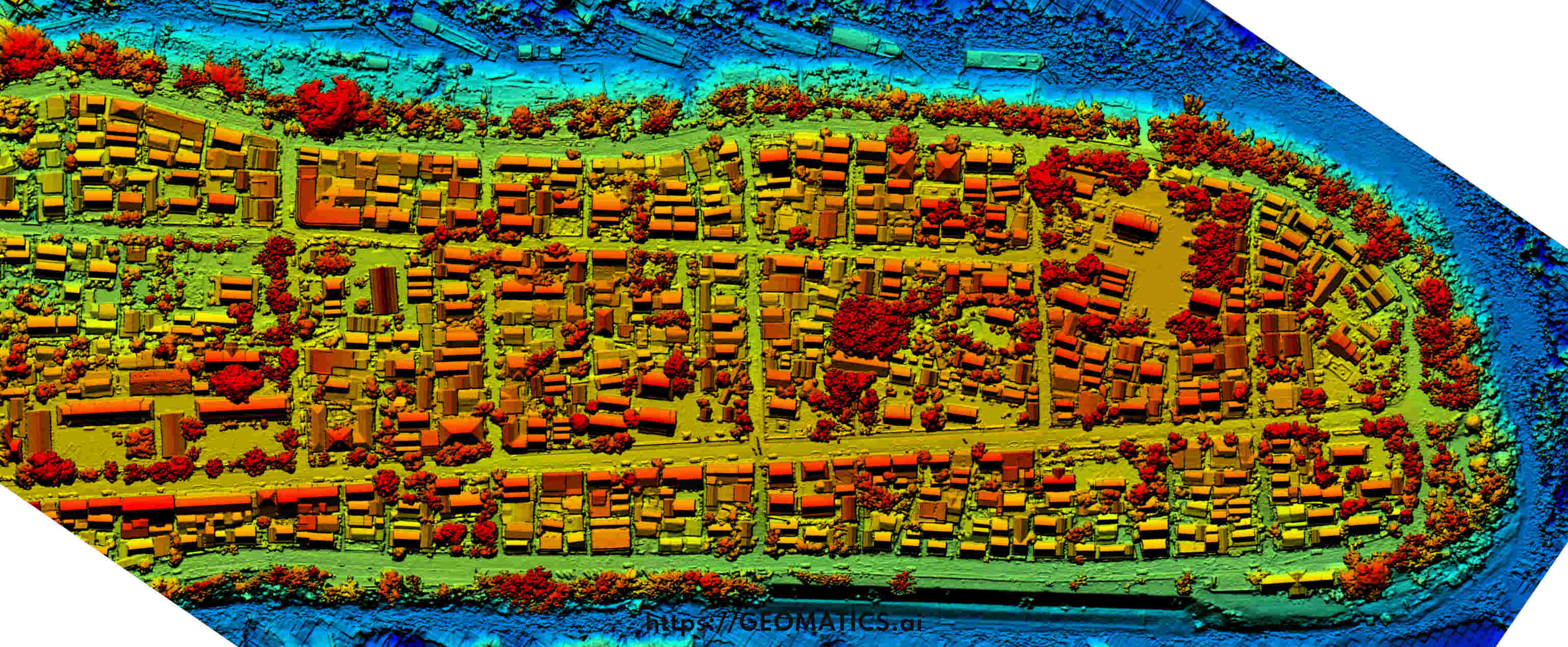
- georeferenced digital elevation models (DEM)
- georeferenced digital terrain models (DTM)
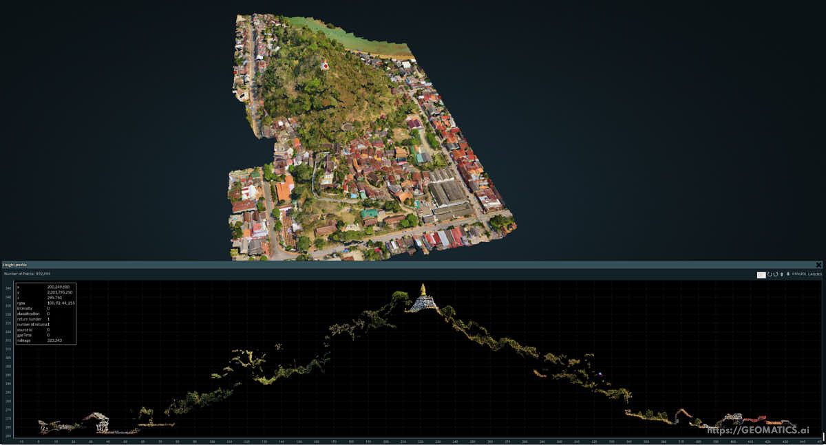
- georeferenced 3D models
- feature classification using machine learning
- measurement and analysis
- length · area · volume · height · contours · profiles · x-sections · etc
- integration of outputs with CAD, GIS, 3D modeling and other software
Global service
It doesn't matter where you are located. Upload images to our site for processing.
Contact us for a quote.
